Lot
Wolphert Webber's Farm
Lot Group
Original Grants and Farms
Property Was Used in 1660 For:
Original Grants and Farms Document(s)
Grant Lot Document(s)
Tax Lot Events
To Party 1
Full Stokes Entry (See images below)
WOLPHERT WEBBER'S FARM Block Check List, 118-279-278-115-118.
Wolphcrt Webber's grant was south of the highway (Chatham St., Park Row), north of the meadows, west of Bouwery No. 6, and east of a hilly ridge between Pearl and Roosevelt Sts.
So much of the tract as fell west of the "Fresh water little creek" had originally formed part of Loockermans' grant. It
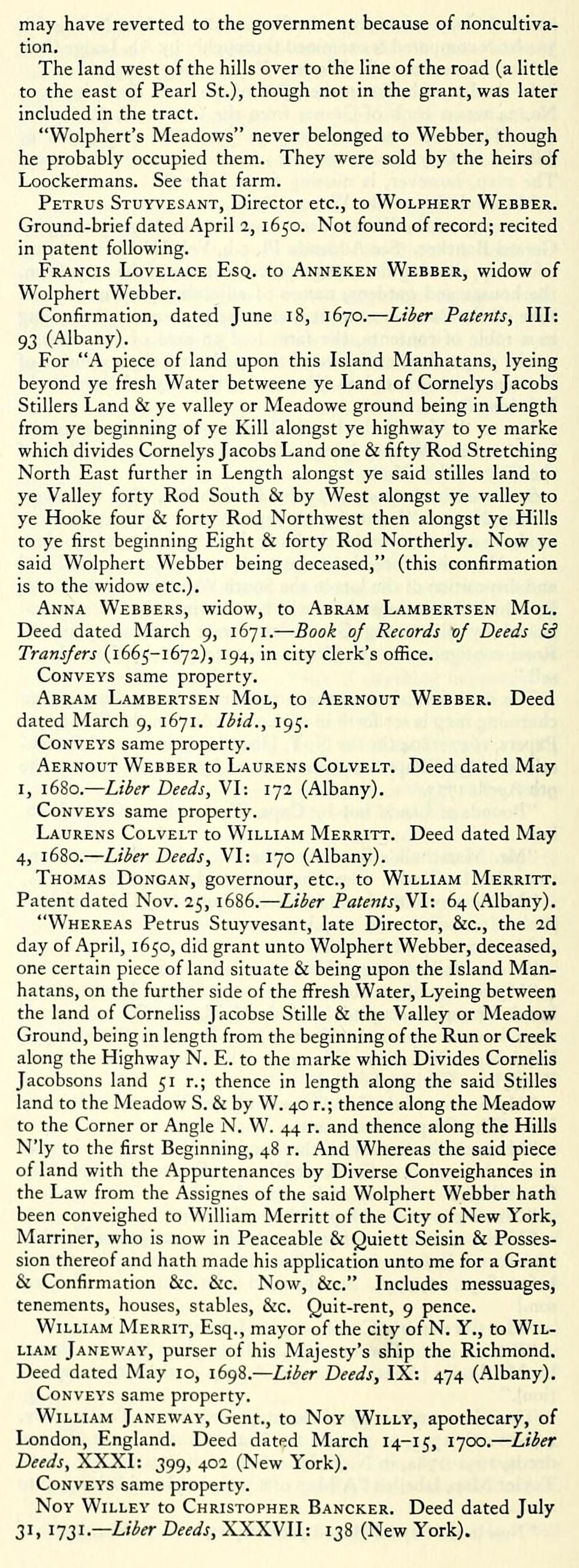
may have reverted to the government because of noncultivation.
The land west of the hills over to the line of the road (a little to the east of Pearl St.), though not in the grant, was later included in the tract.
"Wolphert's Meadows" never belonged to Webber, though he probably occupied them. They were sold by the heirs of Loockermans. See that farm.
Petrus Stuyvesant, Director etc., to Wolphert Webber. Ground-brief dated April 2, 1650. Not found of record; recited in patent following.
Francis Lovelace Esq. to Anneken Webber, widow of Wolphert Webber.
Confirmation, dated June 18, 1670. — Liber Patents, III: 93 (Albany).
For "A piece of land upon this Island Manhatans, lyeing beyond ye fresh Water betweene ye Land of Cornelys Jacobs Stillers Land & ye valley or Meadowe ground being in Length from ye beginning of ye Kill alongst ye highway to ye marke which divides Cornelys Jacobs Land one & fifty Rod Stretching North East further in Length alongst ye said stilles land to ye Valley forty Rod South & by West alongst ye valley to ye Hooke four & forty Rod Northwest then alongst ye Hills to ye first beginning Eight & forty Rod Northerly. Now ye said Wolphert Webber being deceased," (this confirmation is to the widow etc.).
Anna Webbers, widow, to Abram Lambertsen Mol. Deed dated March 9, 1671. — Book of Records vf Deeds & Transfers (1665-1672), 194, in city clerk's office.
Conveys same property.
Abram Lambertsen Mol, to Aernout Webber. Deed dated March 9, 1671. Ibid., 195.
Conveys same property.
Aernout Webber to Laurens Colvelt. Deed dated May I, 1680. — Liber Deeds, VI: 172 (Albany).
Conveys same property.
Laurens Colvelt to William Merritt. Deed dated May 4, 16S0.— Liber Deeds, VI: 170 (Albany).
Thomas Dongan, governour, etc., to William Merritt. Patent dated Nov. 25, 16S6.— Liber Patents, VI: 64 (Albany).
"Whereas Petrus Stuyvesant, late Director, &c., the 2d day of April, 1650, did grant unto Wolphert Webber, deceased, one certain piece of land situate & being upon the Island Manhatans, on the further side of the fl^resh Water, Lyeing between the land of Corneliss Jacobse Stille & the Valley or Meadow Ground, being in length from the beginning of the Run or Creek along the Highway N. E. to the marke which Divides Cornells Jacobsons land 51 r.; thence in length along the said Stilles land to the Meadow S. & by W. 40 r.; thence along the Meadow to the Corner or Angle N. W. 44 r. and thence along the Hills N'ly to the first Beginning, 48 r. And Whereas the said piece of land with the Appurtenances by Diverse Conveighances in the Law from the Assignes of the said Wolphert Webber hath been conveighed to William Merritt of the City of New York, Marriner, who is now in Peaceable & Quiett Seisin & Possession thereof and hath made his application unto me for a Grant & Confirmation &c. &c. Now, &c." Includes messuages, tenements, houses, stables, &c. Quit-rent, 9 pence.
William Merrit, Esq., mayor of the city of N. Y., to William Janeway, purser of his Majesty's ship the Richmond. Deed dated May 10, i6gS.~Liber Deeds, IX: 474 (Albany).
Conveys same property.
William Janewav, Gent., to Nov Willy, apothecary, of London, England. Deed dated March 14-15, 1700. — Liber Deeds, XXXI: 399, 402 (New York).
Conveys same property.
NoY WiLLEY to Christopher Bancker. Deed dated July 31, 1731.— Liber Deeds, XXXVII: 138 (New York).
Conveys same property.
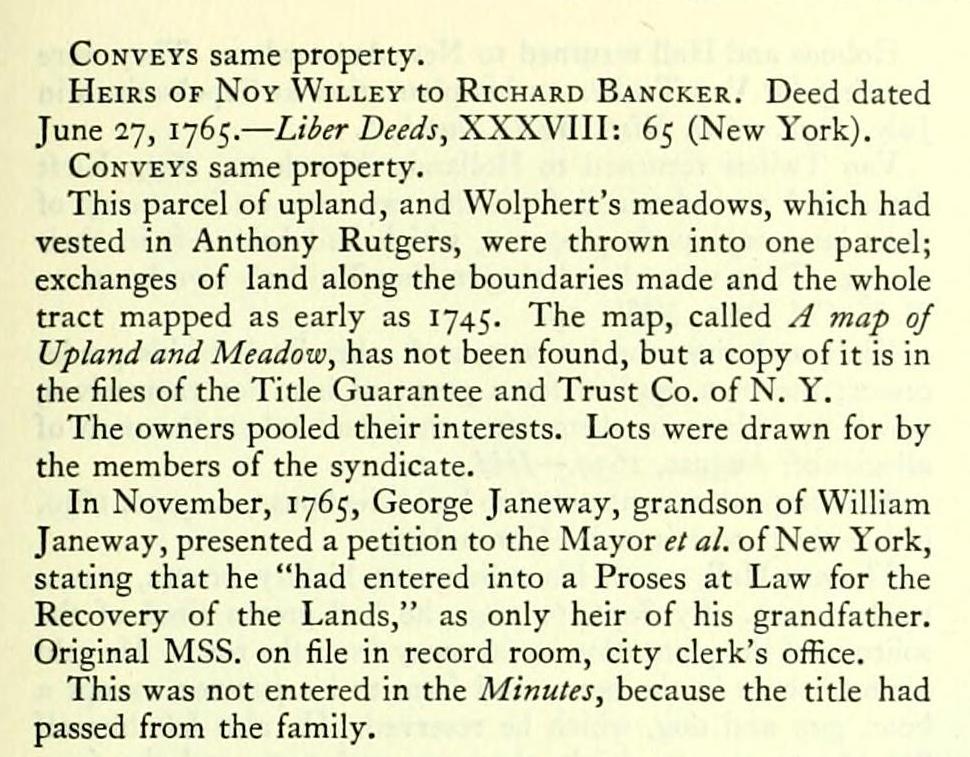
Heirs of Noy Willey to Richard Bancker. Deed dated June 27, 1765. — Liier Deeds, XXXVIII: 65 (New York).
Conveys same property.
This parcel of upland, and Wolphert's meadows, which had vested in Anthony Rutgers, were thrown into one parcel; exchanges of land along the boundaries made and the whole tract mapped as early as 1745. The map, called A map of Upland and Meadow, has not been found, but a copy of it is in the files of the Title Guarantee and Trust Co. of N. Y.
The owners pooled their interests. Lots were drawn for by the members of the syndicate.
In November, 1765, George Janeway, grandson of William Janeway, presented a petition to the Mayor et al. of New York, stating that he "had entered into a Proses at Law for the Recovery of the Lands," as only heir of his grandfather. Original MSS. on file in record room, city clerk's office.
This was not entered in the Minutes, because the title had passed from the family.
Wolphcrt Webber's grant was south of the highway (Chatham St., Park Row), north of the meadows, west of Bouwery No. 6, and east of a hilly ridge between Pearl and Roosevelt Sts.
So much of the tract as fell west of the "Fresh water little creek" had originally formed part of Loockermans' grant. It
may have reverted to the government because of noncultivation.
The land west of the hills over to the line of the road (a little to the east of Pearl St.), though not in the grant, was later included in the tract.
"Wolphert's Meadows" never belonged to Webber, though he probably occupied them. They were sold by the heirs of Loockermans. See that farm.
Petrus Stuyvesant, Director etc., to Wolphert Webber. Ground-brief dated April 2, 1650. Not found of record; recited in patent following.
Francis Lovelace Esq. to Anneken Webber, widow of Wolphert Webber.
Confirmation, dated June 18, 1670. — Liber Patents, III: 93 (Albany).
For "A piece of land upon this Island Manhatans, lyeing beyond ye fresh Water betweene ye Land of Cornelys Jacobs Stillers Land & ye valley or Meadowe ground being in Length from ye beginning of ye Kill alongst ye highway to ye marke which divides Cornelys Jacobs Land one & fifty Rod Stretching North East further in Length alongst ye said stilles land to ye Valley forty Rod South & by West alongst ye valley to ye Hooke four & forty Rod Northwest then alongst ye Hills to ye first beginning Eight & forty Rod Northerly. Now ye said Wolphert Webber being deceased," (this confirmation is to the widow etc.).
Anna Webbers, widow, to Abram Lambertsen Mol. Deed dated March 9, 1671. — Book of Records vf Deeds & Transfers (1665-1672), 194, in city clerk's office.
Conveys same property.
Abram Lambertsen Mol, to Aernout Webber. Deed dated March 9, 1671. Ibid., 195.
Conveys same property.
Aernout Webber to Laurens Colvelt. Deed dated May I, 1680. — Liber Deeds, VI: 172 (Albany).
Conveys same property.
Laurens Colvelt to William Merritt. Deed dated May 4, 16S0.— Liber Deeds, VI: 170 (Albany).
Thomas Dongan, governour, etc., to William Merritt. Patent dated Nov. 25, 16S6.— Liber Patents, VI: 64 (Albany).
"Whereas Petrus Stuyvesant, late Director, &c., the 2d day of April, 1650, did grant unto Wolphert Webber, deceased, one certain piece of land situate & being upon the Island Manhatans, on the further side of the fl^resh Water, Lyeing between the land of Corneliss Jacobse Stille & the Valley or Meadow Ground, being in length from the beginning of the Run or Creek along the Highway N. E. to the marke which Divides Cornells Jacobsons land 51 r.; thence in length along the said Stilles land to the Meadow S. & by W. 40 r.; thence along the Meadow to the Corner or Angle N. W. 44 r. and thence along the Hills N'ly to the first Beginning, 48 r. And Whereas the said piece of land with the Appurtenances by Diverse Conveighances in the Law from the Assignes of the said Wolphert Webber hath been conveighed to William Merritt of the City of New York, Marriner, who is now in Peaceable & Quiett Seisin & Possession thereof and hath made his application unto me for a Grant & Confirmation &c. &c. Now, &c." Includes messuages, tenements, houses, stables, &c. Quit-rent, 9 pence.
William Merrit, Esq., mayor of the city of N. Y., to William Janeway, purser of his Majesty's ship the Richmond. Deed dated May 10, i6gS.~Liber Deeds, IX: 474 (Albany).
Conveys same property.
William Janewav, Gent., to Nov Willy, apothecary, of London, England. Deed dated March 14-15, 1700. — Liber Deeds, XXXI: 399, 402 (New York).
Conveys same property.
NoY WiLLEY to Christopher Bancker. Deed dated July 31, 1731.— Liber Deeds, XXXVII: 138 (New York).
Conveys same property.
Heirs of Noy Willey to Richard Bancker. Deed dated June 27, 1765. — Liier Deeds, XXXVIII: 65 (New York).
Conveys same property.
This parcel of upland, and Wolphert's meadows, which had vested in Anthony Rutgers, were thrown into one parcel; exchanges of land along the boundaries made and the whole tract mapped as early as 1745. The map, called A map of Upland and Meadow, has not been found, but a copy of it is in the files of the Title Guarantee and Trust Co. of N. Y.
The owners pooled their interests. Lots were drawn for by the members of the syndicate.
In November, 1765, George Janeway, grandson of William Janeway, presented a petition to the Mayor et al. of New York, stating that he "had entered into a Proses at Law for the Recovery of the Lands," as only heir of his grandfather. Original MSS. on file in record room, city clerk's office.
This was not entered in the Minutes, because the title had passed from the family.