Lot
Beekman's Pasture
Lot Group
Original Grants and Farms
Property Was Used in 1660 For:
Original Grants and Farms Document(s)
Grant Lot Document(s)
Tax Lot Events
Full Stokes Entry (See images below)
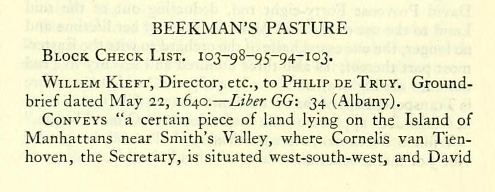
BEEKMAN'S PASTURE Block Check List. 103-98-95-94-103.
Willem Kieft, Director, etc., to Philip de Truy. Groundbrief dated May 22, 1640. — Liier GG: 34 (Albany).
Conveys "a certain piece of land lying on the Island of Manhattans near Smith's Valley, where Cornells van Tienhoven, the Secretary, is situated west-south-west, and David
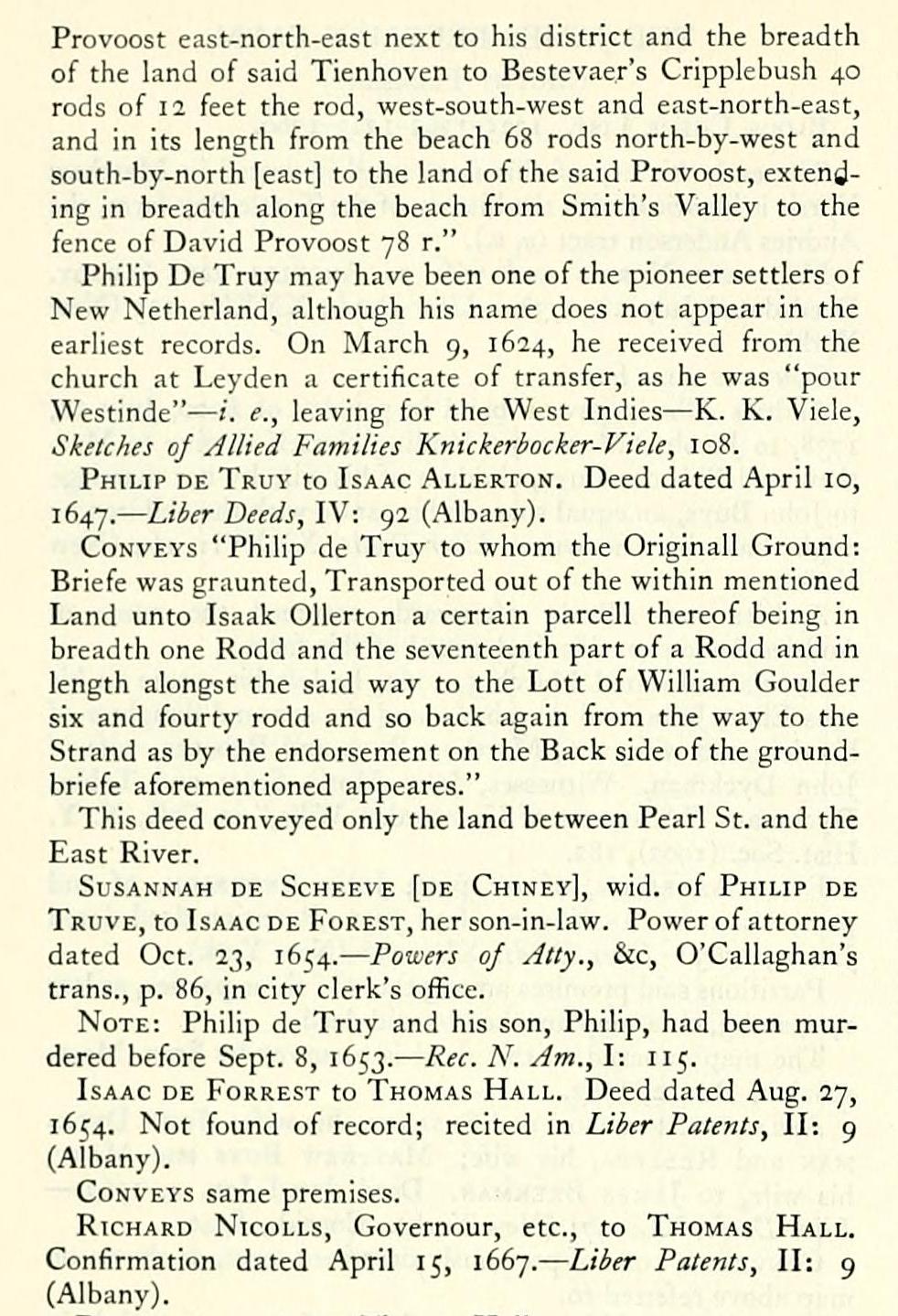
Provoost east-north-east next to his district and the breadth of the land of said Tienhoven to Bestevaer's Cripplebush 40 rods of 12 feet the rod, west-south-west and east-north-east, and in its length from the beach 68 rods north-by-west and south-by-north [east] to the land of the said Provoost, extending in breadth along the beach from Smith's Valley to the fence of David Provoost 78 r."
Philip De Truy may have been one of the pioneer settlers of New Netherland, although his name does not appear in the earliest records. On March 9, 1624, he received from the church at Leyden a certificate of transfer, as he was "pour Westinde" — /. e., leaving for the West Indies — K. K. Viele, Sketches of Allied Families Knickerbocker-Viele, 108.
Philip de Truy to Isaac ALLERTo^f. Deed dated April 10, 1647. — Liber Deeds, IV: 92 (Albany).
Conveys "Philip de Truy to whom the Originall Ground: Briefe was graunted. Transported out of the within mentioned Land unto Isaak Ollerton a certain parcell thereof being in breadth one Rodd and the seventeenth part of a Rodd and in length alongst the said way to the Lott of William Goulder six and fourty rodd and so back again from the way to the Strand as by the endorsement on the Back side of the groundbriefe aforementioned appeares."
This deed conveyed only the land between Pearl St. and the East River.
Susannah de Scheeve [de Chiney], wid. of Philip de Truve, to Isaac de Forest, her son-in-law. Power of attorney dated Oct. 23, 1654. — Powers of Atty., &c, O'Callaghan's trans., p. 86, in city clerk's office.
Note: Philip de Truy and his son, Philip, had been murdered before Sept. 8, 1653. — Rec. N. Am., I: 115.
Isaac de Forrest to Thomas Hall. Deed dated Aug. 27, 1654. Not found of record; recited in Liber Patents, II: 9 (Albany).
Conveys same premises.
Richard Nicolls, Governour, etc., to Thomas Hall. Confirmation dated April 15, 1667. — Liber Patents, II: 9 (Albany).
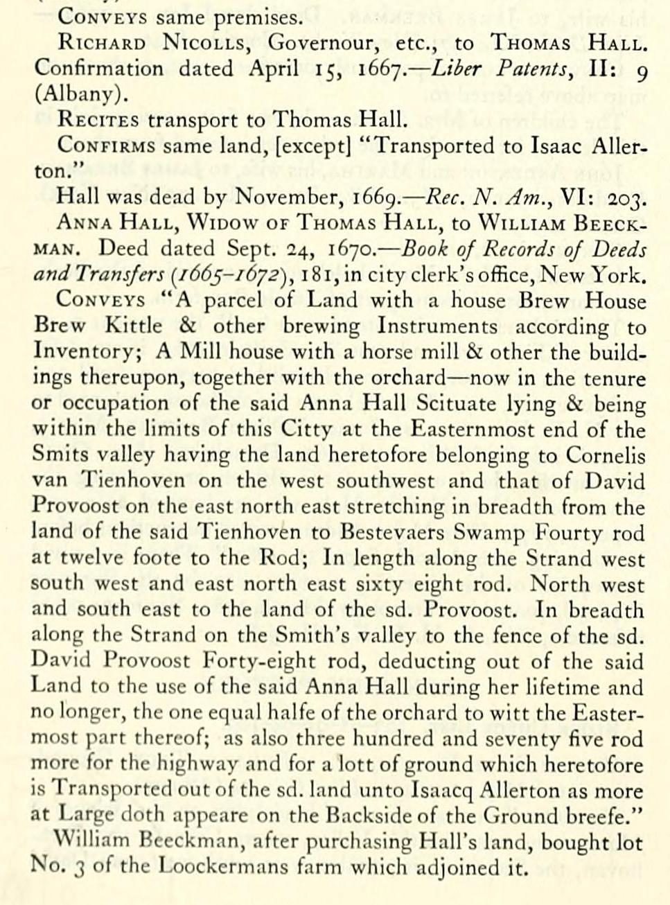
Recites transport to Thomas Hall.
Confirms same land, [except] "Transported to Isaac Allerton." Hall was dead by November, i66g. — Rec. N. Am., VI: 203. Anna Hall, Widow of Thomas Hall, to William Beeckman. Deed dated Sept. 24, 1670. — Book of Records of Deeds and Transfers [166^-1 6y2), 1 8 1, in city clerk's office. New York. Conveys "A parcel of Land with a house Brew House Brew Kittle & other brewing Instruments according to Inventory; A Mill house with a horse mill & other the buildings thereupon, together with the orchard — now in the tenure or occupation of the said Anna Hall Scituate lying & being within the limits of this Citty at the Easternmost end of the Smits valley having the land heretofore belonging to Cornells van Tienhoven on the west southwest and that of David Provoost on the east north east stretching in breadth from the land of the said Tienhoven to Bestevaers Swamp Fourty rod at twelve foote to the Rod; In length along the Strand west south west and east north east sixty eight rod. North west and south east to the land of the sd. Provoost. In breadth along the Strand on the Smith's valley to the fence of the sd. Daviil Provoost Forty-eight rod, deducting out of the said Land to the use of the said Anna Hall during her lifetime and no longer, the one equal halfe of the orchard to witt the Eastermost part thereof; as also three hundred and seventy five rod more for the highway and for a lott of ground which heretofore is Transported out of the sd. land unto Isaacq Allerton as more at Large doth appeare on the Backside of the Ground breefe." William Becckman, after purchasing Hall's land, bought lot No. 3 of the Loockermans farm which adjoined it.
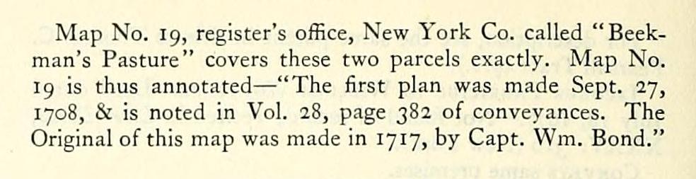
Map No. 19, register's office. New York Co. called "Beekman's Pasture" covers these two parcels exactly. Map No. 19 is thus annotated — "The first plan was made Sept. 27, 1708, & is noted in Vol. 28, page 382 of conveyances. The Original of this map was made in 1717, by Capt. Wm. Bond."
Willem Kieft, Director, etc., to Philip de Truy. Groundbrief dated May 22, 1640. — Liier GG: 34 (Albany).
Conveys "a certain piece of land lying on the Island of Manhattans near Smith's Valley, where Cornells van Tienhoven, the Secretary, is situated west-south-west, and David
Provoost east-north-east next to his district and the breadth of the land of said Tienhoven to Bestevaer's Cripplebush 40 rods of 12 feet the rod, west-south-west and east-north-east, and in its length from the beach 68 rods north-by-west and south-by-north [east] to the land of the said Provoost, extending in breadth along the beach from Smith's Valley to the fence of David Provoost 78 r."
Philip De Truy may have been one of the pioneer settlers of New Netherland, although his name does not appear in the earliest records. On March 9, 1624, he received from the church at Leyden a certificate of transfer, as he was "pour Westinde" — /. e., leaving for the West Indies — K. K. Viele, Sketches of Allied Families Knickerbocker-Viele, 108.
Philip de Truy to Isaac ALLERTo^f. Deed dated April 10, 1647. — Liber Deeds, IV: 92 (Albany).
Conveys "Philip de Truy to whom the Originall Ground: Briefe was graunted. Transported out of the within mentioned Land unto Isaak Ollerton a certain parcell thereof being in breadth one Rodd and the seventeenth part of a Rodd and in length alongst the said way to the Lott of William Goulder six and fourty rodd and so back again from the way to the Strand as by the endorsement on the Back side of the groundbriefe aforementioned appeares."
This deed conveyed only the land between Pearl St. and the East River.
Susannah de Scheeve [de Chiney], wid. of Philip de Truve, to Isaac de Forest, her son-in-law. Power of attorney dated Oct. 23, 1654. — Powers of Atty., &c, O'Callaghan's trans., p. 86, in city clerk's office.
Note: Philip de Truy and his son, Philip, had been murdered before Sept. 8, 1653. — Rec. N. Am., I: 115.
Isaac de Forrest to Thomas Hall. Deed dated Aug. 27, 1654. Not found of record; recited in Liber Patents, II: 9 (Albany).
Conveys same premises.
Richard Nicolls, Governour, etc., to Thomas Hall. Confirmation dated April 15, 1667. — Liber Patents, II: 9 (Albany).
Recites transport to Thomas Hall.
Confirms same land, [except] "Transported to Isaac Allerton." Hall was dead by November, i66g. — Rec. N. Am., VI: 203. Anna Hall, Widow of Thomas Hall, to William Beeckman. Deed dated Sept. 24, 1670. — Book of Records of Deeds and Transfers [166^-1 6y2), 1 8 1, in city clerk's office. New York. Conveys "A parcel of Land with a house Brew House Brew Kittle & other brewing Instruments according to Inventory; A Mill house with a horse mill & other the buildings thereupon, together with the orchard — now in the tenure or occupation of the said Anna Hall Scituate lying & being within the limits of this Citty at the Easternmost end of the Smits valley having the land heretofore belonging to Cornells van Tienhoven on the west southwest and that of David Provoost on the east north east stretching in breadth from the land of the said Tienhoven to Bestevaers Swamp Fourty rod at twelve foote to the Rod; In length along the Strand west south west and east north east sixty eight rod. North west and south east to the land of the sd. Provoost. In breadth along the Strand on the Smith's valley to the fence of the sd. Daviil Provoost Forty-eight rod, deducting out of the said Land to the use of the said Anna Hall during her lifetime and no longer, the one equal halfe of the orchard to witt the Eastermost part thereof; as also three hundred and seventy five rod more for the highway and for a lott of ground which heretofore is Transported out of the sd. land unto Isaacq Allerton as more at Large doth appeare on the Backside of the Ground breefe." William Becckman, after purchasing Hall's land, bought lot No. 3 of the Loockermans farm which adjoined it.
Map No. 19, register's office. New York Co. called "Beekman's Pasture" covers these two parcels exactly. Map No. 19 is thus annotated — "The first plan was made Sept. 27, 1708, & is noted in Vol. 28, page 382 of conveyances. The Original of this map was made in 1717, by Capt. Wm. Bond."