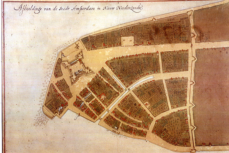
Jacques Cortelyou was Surveyor General for the Dutch West India Company in New Netherland serving under Petrus Stuyvesant. His famous map of the Castello Plan is available in the Mapping Early NY project. This beautiful map is known as the Castello Plan because it was later rediscovered at the Villa di Castello near Florence, Italy, in 1900. The map had been bound within an atlas that was sold to a member of the Medici family.
Jacques Cortelyou founded settlements in New Utrecht, Long Island, and in 1660 designed Bergen Square, site of the first town within the current state of New Jersey to receive a municipal charter.
Cortelyou owned at least one slave, see the timeline entry for related documents. https://encyclopedia.nahc-mapping.org/document/order-jacques-corteljous…
Born of French Huguenot parents, he was a mathematician, land surveyor, and from the Castello plan we know that he was an accomplished artist.

